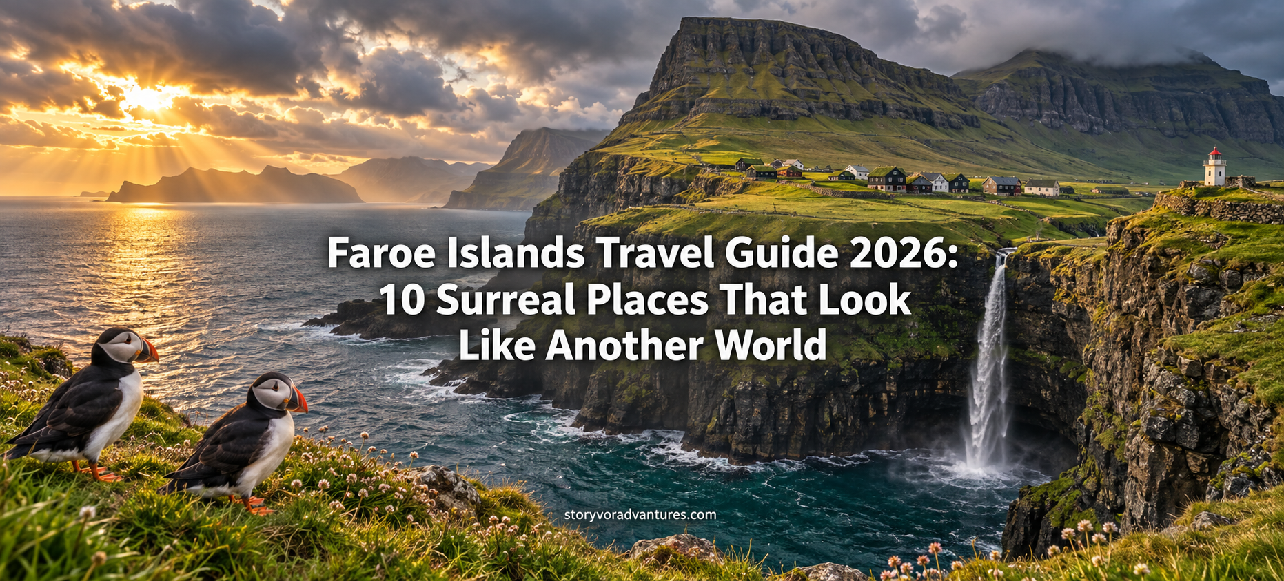
Faroe Islands Travel Guide 2026: 10 Surreal Places That Look Like Another World
Discover 10 surreal places in the Faroe Islands, from Múlafossur Waterfall and Lake Sørvágsvatn to Mykines, Kalsoy and the historic streets of Tórshavn.
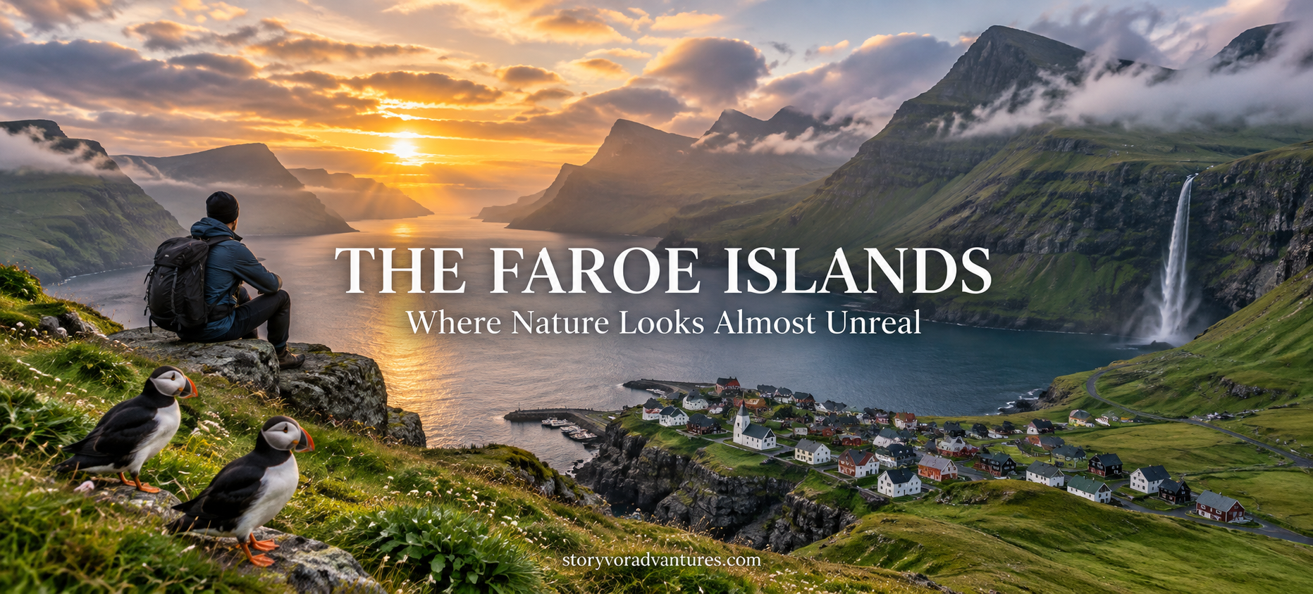
Between Iceland, Norway and Scotland lies a remote North Atlantic archipelago where waterfalls fall directly toward the ocean, grass-covered houses sit beneath dramatic mountains and narrow roads disappear into tunnels connecting quiet villages.
The Faroe Islands consist of rugged islands shaped by wind, rain and the surrounding sea. Their landscapes can appear almost unreal, yet these are living communities rather than empty photography locations. Fishing villages, working farms, local roads and fragile hiking areas form part of everyday Faroese life.
A journey here requires flexibility. Fog can hide a mountain within minutes, ferries may be affected by sea conditions and a sunny morning can quickly become wet and windy. Travellers who arrive prepared and respect local instructions are more likely to appreciate what makes the islands special.
These ten destinations reveal different sides of the Faroe Islands, from internationally recognised viewpoints to historic streets and peaceful coastal settlements.
1. Múlafossur Waterfall and Gásadalur Village
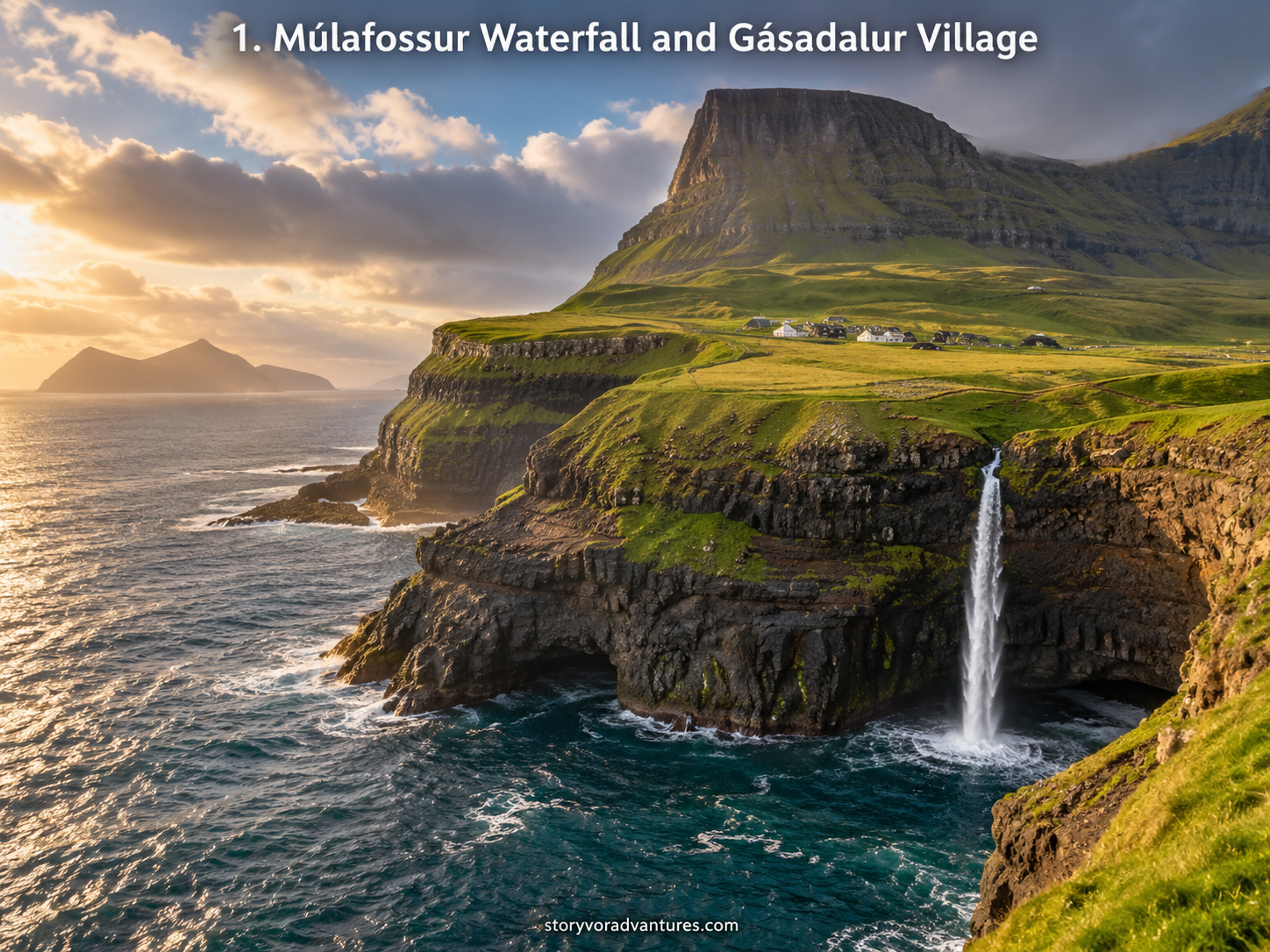
Múlafossur Waterfall is one of the most recognisable natural sights in the Faroe Islands. Water flows from the green cliffs near Gásadalur and drops toward the dark Atlantic Ocean, creating a scene that seems designed for a travel photograph.
The village itself is equally important to the experience. Gásadalur sits between steep mountains and the sea on Vágar Island. Before the road tunnel improved access, reaching this small community was considerably more difficult. Today, visitors can approach the viewpoint more easily, but the surrounding land and village still deserve care and privacy.
Weather can completely transform the view. Bright conditions reveal the coastline and neighbouring island of Mykines, while low clouds can make the waterfall and cliffs feel mysterious. Strong wind and wet surfaces may make exposed areas dangerous, so travellers should remain behind appropriate boundaries and avoid approaching cliff edges for photographs.
Rather than leaving immediately after seeing the waterfall, allow time to appreciate the scale and isolation of the landscape. The attraction is not only the falling water—it is the relationship between the village, mountain, ocean and constantly changing sky.
2. Lake Sørvágsvatn Above the Ocean
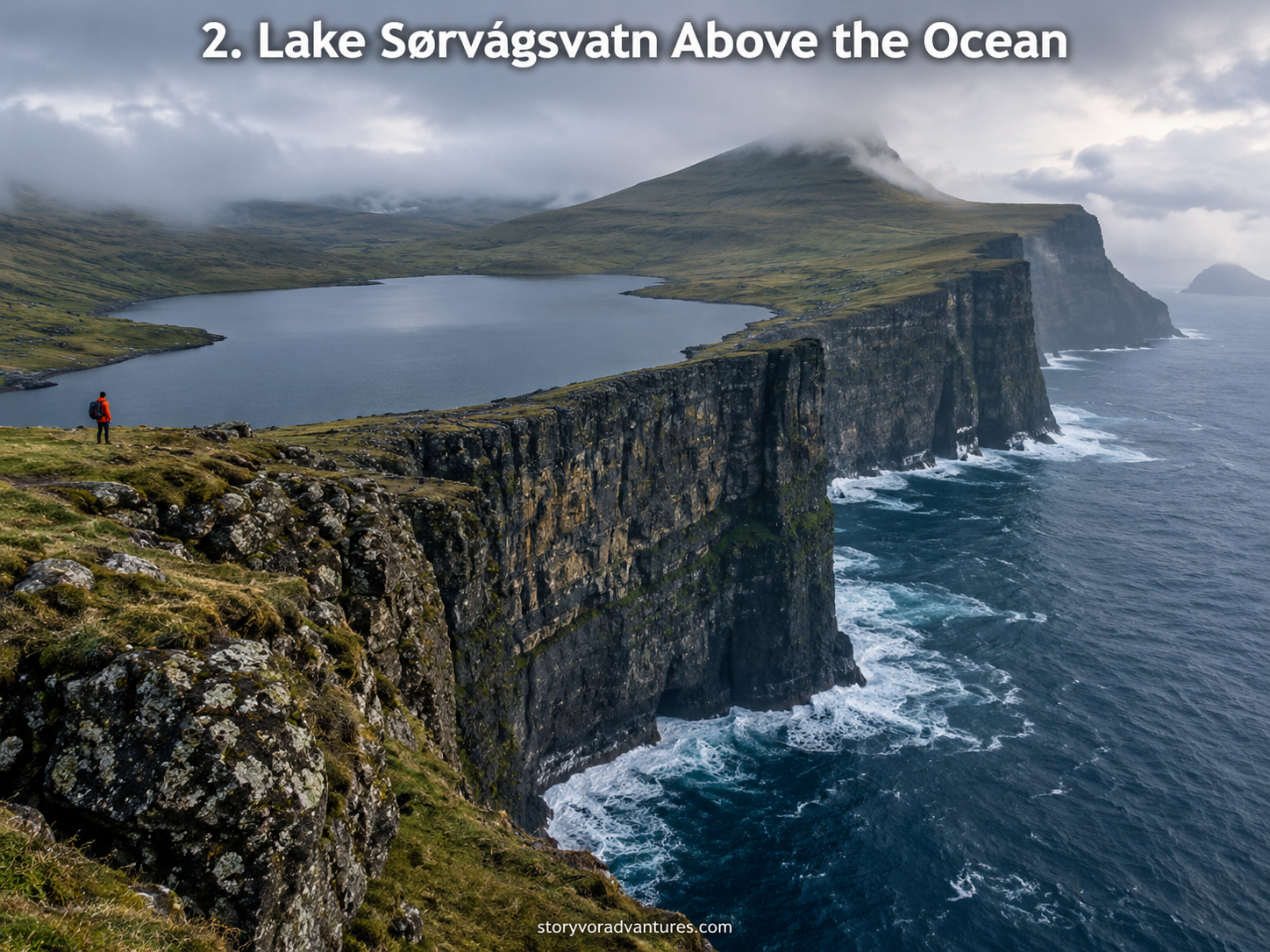
Lake Sørvágsvatn, also known as Leitisvatn, has become famous because of a remarkable visual illusion. From the Trælanípa viewpoint, the lake can appear to float high above the Atlantic Ocean, even though the difference in elevation is less dramatic than photographs may suggest.
The experience depends heavily on perspective. As travellers follow the designated route across the open landscape, the view changes gradually. Near the coast, cliffs and camera angles create the impression that the lake is suspended above the sea.
This is more than a location for creating an optical illusion. The area offers wide views across Vágar, exposed coastal scenery and the nearby Bøsdalafossur waterfall, where water from the lake reaches the ocean.
Access conditions, trail arrangements and charges can change. Visitors should check the authorised local information before arriving and follow the marked route. Leaving the path can damage vegetation and may take travellers dangerously close to unprotected cliffs.
Cloud, rain and strong wind are common possibilities. Waterproof clothing and suitable footwear are more useful here than an elaborate photography setup.
3. Saksun’s Lagoon and Traditional Village
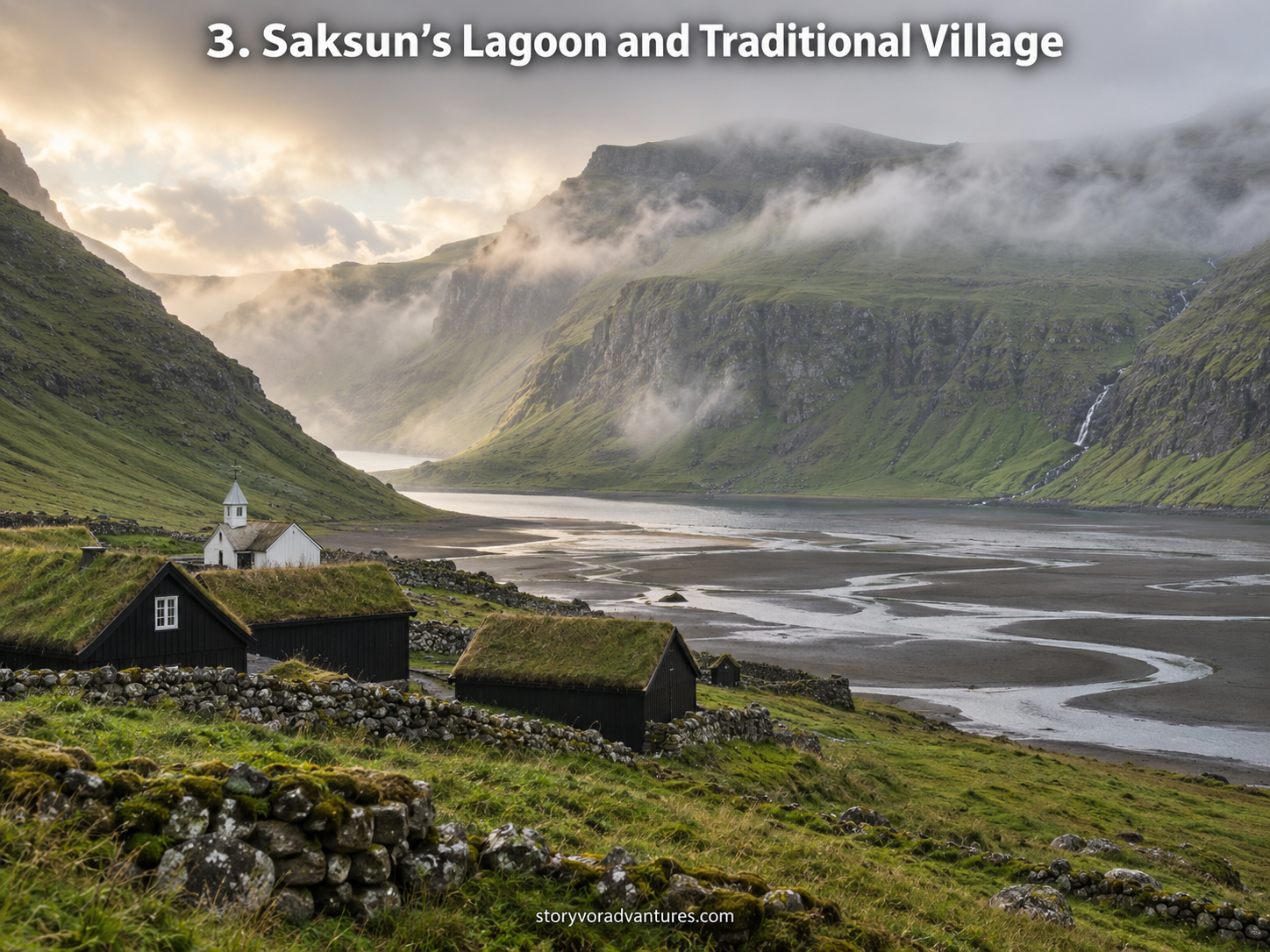
Saksun rests in a natural amphitheatre surrounded by high green mountains on Streymoy Island. Its grass-roofed buildings, church and tidal lagoon create a peaceful landscape that feels separated from the modern world.
The lagoon changes character with the tide. Water may fill the inlet during one visit, while broad areas of dark sand and winding channels may appear during another. This constant transformation is part of the attraction.
Saksun is also a small residential and farming community. Paths, gates and fields should not be treated as unrestricted public space simply because they appear beautiful in photographs. Visitors must respect signs, private property and any local access arrangements.
The village is especially atmospheric in mist or soft rain, but rapidly changing weather can reduce visibility. Driving carefully is important because roads in rural areas can be narrow and may be shared with local traffic, pedestrians and sheep.
Spend time observing the details—the turf roofs, stone walls and quiet church—rather than focusing only on the most famous viewpoint. Saksun’s beauty comes from its sense of place, not from a single photograph.
4. Tjørnuvík’s Black-Sand Beach
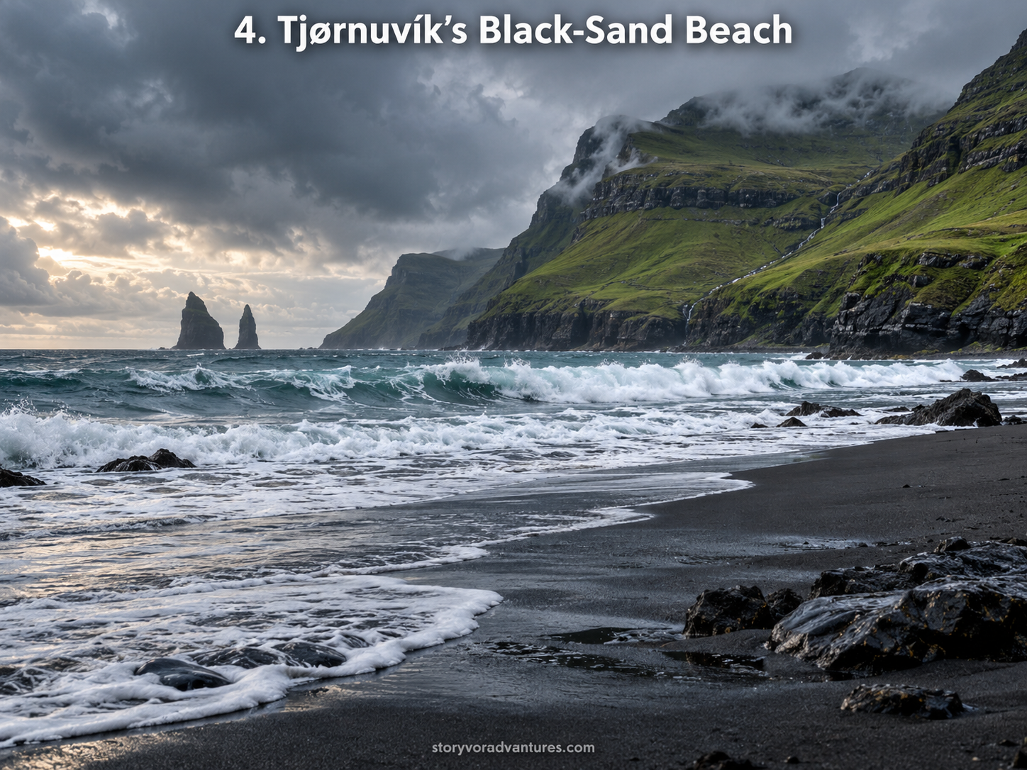
Located at the northern end of Streymoy, Tjørnuvík is a small village facing a dark beach surrounded by steep mountains. Across the water, travellers can see the sea stacks known as Risin and Kellingin, meaning the Giant and the Witch.
The road leading to the village is part of the experience. It follows a dramatic coastline where waterfalls, cliffs and ocean views appear between bends. Because sections can be narrow, drivers should follow local traffic rules, use passing places correctly and avoid stopping where vehicles need to move.
The beach creates a striking contrast between black sand, white waves and green mountains. However, the North Atlantic should be treated cautiously. Water conditions can be powerful, and a quiet-looking shoreline is not an invitation to ignore the sea.
Tjørnuvík is a functioning village with limited space. Visitors should use designated parking, avoid blocking homes and keep noise low. Buying refreshments or local products where available can be a simple way to support the community receiving visitors.
The village is most rewarding when experienced slowly. Walk along appropriate areas, listen to the waves and allow the landscape to reveal itself without turning the visit into a hurried photo stop.
5. Gjógv Village and Its Natural Gorge
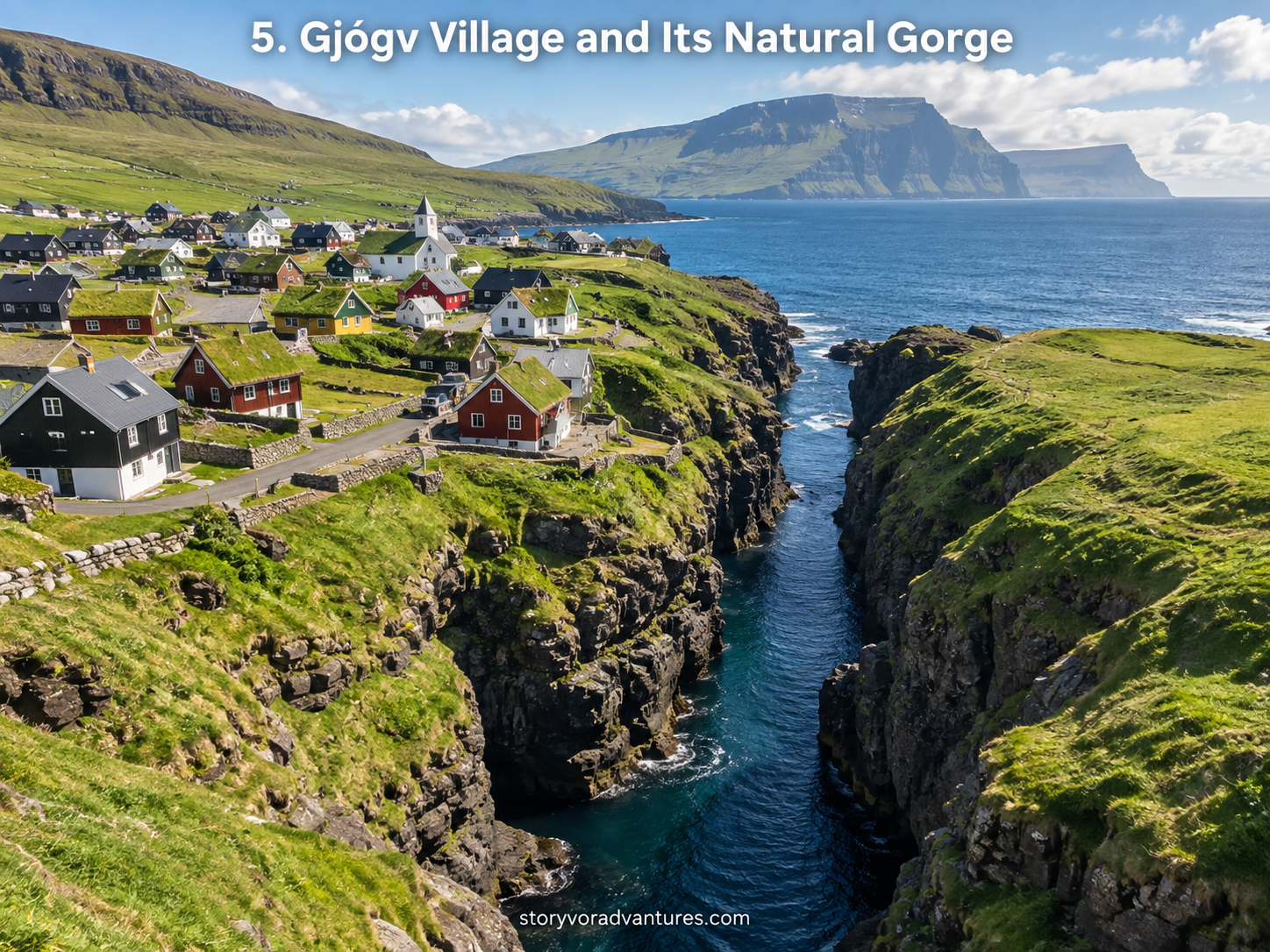
Gjógv is named after the natural sea-filled gorge beside the village. For generations, this sheltered formation served as a landing place for boats and gave the community a distinctive connection with the ocean.
A pathway and steps provide views into the gorge, where dark rock walls frame the moving water. In calm weather, the inlet can appear peaceful. During rougher conditions, waves reveal the force of the sea that helped shape it.
Beyond the gorge, Gjógv contains colourful houses, narrow lanes and mountain scenery. Walking through the village demonstrates how Faroese settlements adapt to limited flat land and difficult coastal geography.
Visitors should remember that the houses are private homes. Drones, photography and access to residential areas should always follow local rules and respect residents. Remaining on established routes also helps protect the surrounding grass and reduces erosion.
Gjógv can serve as more than a brief roadside stop. Staying longer provides an opportunity to experience the quiet evening atmosphere after many day visitors have departed.
6. Mykines Island and the Puffin Cliffs
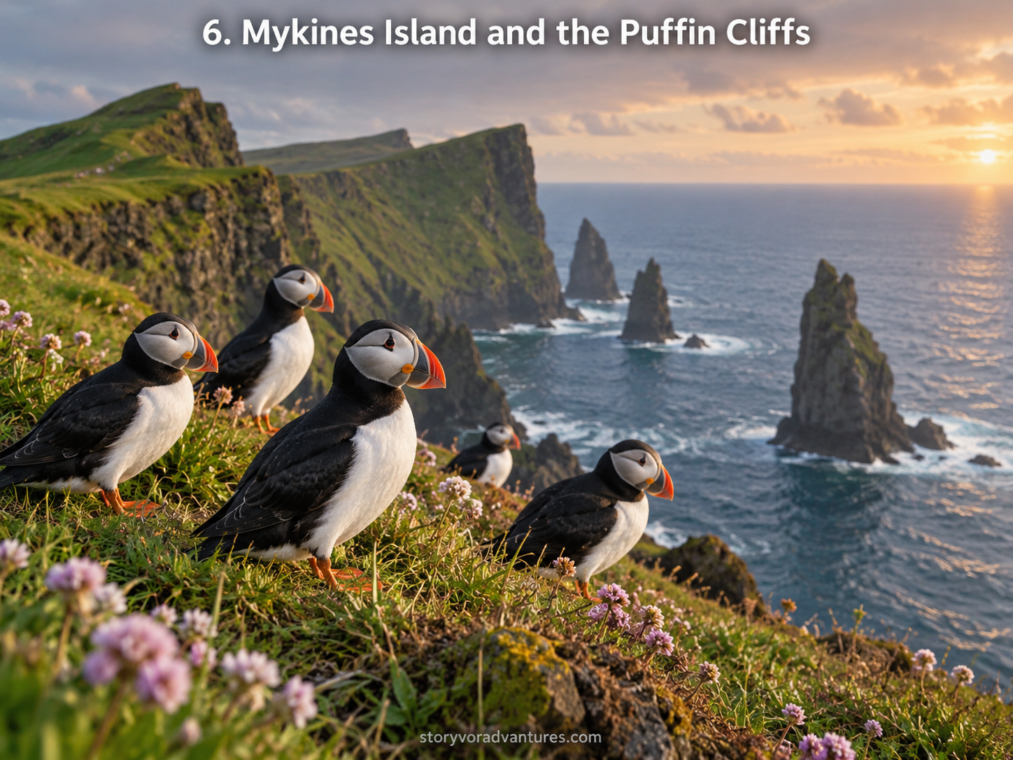
Mykines is widely associated with seabirds, coastal cliffs and a feeling of extraordinary remoteness. During the appropriate season, puffins and other seabirds gather around parts of the island, making it one of the most desired wildlife destinations in the Faroes.
Reaching Mykines requires planning. Public ferry services connect the island with Sørvágur, but schedules and operations can be affected by weather and sea conditions. Access rules, hiking arrangements and seasonal restrictions may also change.
Wildlife must be observed without disturbance. Travellers should remain on permitted paths, keep a respectful distance from nesting birds and follow the directions of local guides or authorities. Approaching wildlife for a close photograph can stress birds and damage nesting areas.
Warm layers and waterproof protection are important even when the mainland appears calm. The island’s exposed location can produce wind, fog and rapidly changing conditions.
Mykines is unforgettable not because travellers can get extremely close to nature, but because they can witness a thriving coastal ecosystem while allowing it the space it needs.
7. Kallur Lighthouse on Kalsoy Island
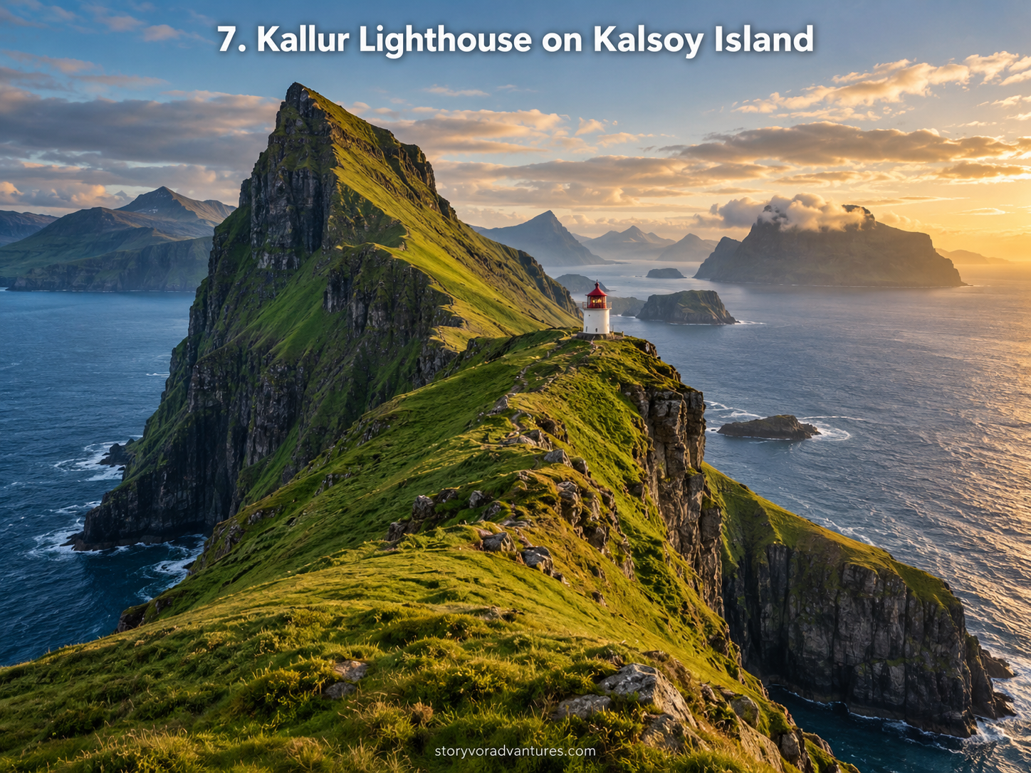
Kallur Lighthouse stands near the northern end of Kalsoy, surrounded by steep green slopes and dramatic ocean cliffs. The small white-and-red lighthouse appears modest against the scale of the landscape, which is precisely what makes the scene so powerful.
Reaching the area typically involves travelling to Kalsoy and continuing toward Trøllanes. Ferry capacity, bus connections, road conditions and hiking arrangements require advance planning. The Faroese public transport network publishes current bus and ferry information, including connections serving Kalsoy. Travellers should always verify the latest schedule rather than relying on an older itinerary.
The final landscape is exposed to wind and changing visibility. Sections around the viewpoint may involve steep or unprotected terrain, and wet grass can become slippery. Visitors should respect local guidance and turn back if conditions feel unsafe.
Kallur should not be approached as a race toward one famous camera position. The journey through Kalsoy’s tunnels, villages and mountains provides a broader understanding of the island.
When the clouds lift, the combination of the lighthouse, cliffs and neighbouring islands creates one of the Faroe Islands’ most memorable panoramas.
8. Vestmanna Sea Cliffs and Caves
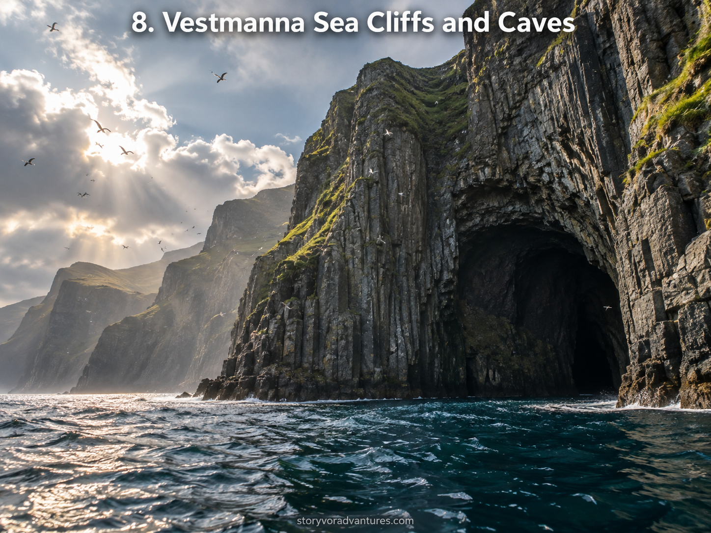
The sea cliffs near Vestmanna reveal the Faroe Islands from a different perspective. Instead of looking toward the ocean from above, visitors can experience towering rock walls rising from the water.
Boat excursions may travel along sections of the coastline and, when conditions permit, approach narrow passages, sea caves and bird cliffs. The exact route depends on weather, waves and safety decisions made by the operator.
This experience shows how strongly the islands have been shaped by the Atlantic. Layers of dark rock, narrow inlets and vertical cliffs become easier to understand when viewed from sea level.
Travellers prone to motion sickness should prepare appropriately and dress for colder conditions on the water. Even during pleasant weather on land, wind and spray can make a boat journey feel considerably cooler.
Choose established operators and follow all safety instructions. Wildlife sightings should be treated as a possibility rather than a guarantee, because responsible operators cannot control the behaviour of wild animals.
9. Tórshavn’s Historic Tinganes District
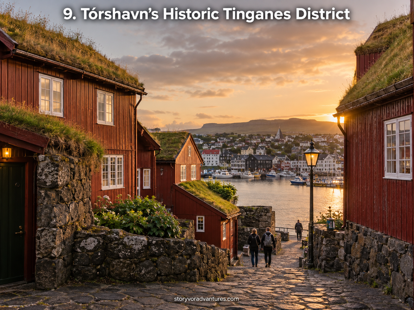
After days of cliffs, waterfalls and small villages, Tórshavn offers a different side of Faroese life. The capital combines modern services with a historic waterfront and compact streets that are easy to explore on foot.
Tinganes is known for its traditional red wooden buildings with grass roofs. The area has played an important role in Faroese administration and remains more than a decorative attraction.
Nearby lanes lead through one of the oldest parts of the city, where black-tarred houses, white-framed windows and turf roofs create an intimate atmosphere. Visitors should walk quietly because some buildings in the historic area continue to serve practical or residential purposes.
Tórshavn is also a useful place to learn about contemporary Faroese culture. Local cafés, museums, restaurants and shops demonstrate that the islands are not simply a collection of remote landscapes.
Allowing time for the capital prevents the trip from presenting the Faroe Islands only as wilderness. The relationship between nature, government, food, art and daily community life is equally important.
10. Fossá Waterfall and the Streymoy Landscape
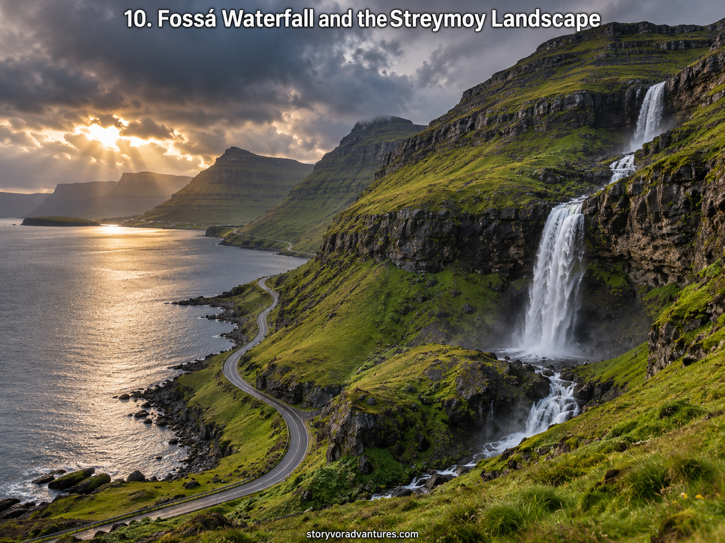
Fossá is a striking multi-level waterfall on Streymoy and is often described as the highest waterfall in the Faroe Islands. It descends across the mountainside before continuing toward the sea, becoming especially powerful after rainfall.
The waterfall can change significantly according to recent weather. Heavy rain may create a dramatic flow, while drier periods can produce a gentler appearance. Mist and wind may carry spray across the surrounding area.
Visitors should park only where it is permitted and avoid creating hazards along the road. Rocks near waterfalls can be wet and slippery, and climbing for a better angle may be unsafe.
Fossá also fits naturally into a wider journey through northern Streymoy. The surrounding roads reveal fjords, small settlements and steep mountains, allowing travellers to experience the waterfall as part of a connected landscape rather than an isolated attraction.
The best photographs often come from respecting distance. A wide composition can capture the height of the waterfall and the scale of the mountain more effectively than standing dangerously close.
What Is the Best Time to Visit the Faroe Islands?
The most suitable period depends on the type of journey a traveller wants. Longer daylight hours and broader availability of seasonal services can make the warmer months appealing. However, popular locations may also receive more visitors during this period.
Spring and autumn can offer quieter conditions, but travellers should expect greater uncertainty around weather and some seasonal activities. Winter provides short days and a very different atmosphere, requiring careful planning and realistic expectations.
There is no season that guarantees clear skies. Weather can change rapidly throughout the year, which is why a flexible itinerary is essential.
Instead of assigning every attraction to a fixed hour, create several possible plans for different conditions. A foggy mountain day may be suitable for exploring Tórshavn, while clearer weather can be used for exposed viewpoints or boat trips.
Travelling Responsibly in the Faroe Islands
The Faroe Islands may appear wild and empty in photographs, but much of the landscape is connected to farms, villages and private land. Travellers should use marked paths, respect gates, follow local access rules and never assume that every hillside is open for unrestricted walking.
Drone use must follow current aviation and local restrictions. Flying near wildlife, homes or other visitors can create disturbance even where a photograph appears harmless.
Weather and terrain should always be taken seriously. The official tourism board provides information about responsible visiting, safe hiking, current access considerations and weather-aware travel. Public bus and ferry schedules should be checked through the official Faroese transport provider before each journey.
Supporting local accommodation, cafés, guides and small businesses can also help tourism contribute to the communities that maintain these destinations.
Important Travel Information
Transport schedules, hiking fees, access rules, ferry operations, weather conditions and wildlife restrictions can change. Verify important information with official tourism, transport and local authority sources before travelling.
Carry waterproof outerwear, warm layers and footwear suitable for wet ground. Inform someone about remote hiking plans, monitor the weather and avoid exposed cliffs during strong wind or poor visibility.
This article provides general travel inspiration and planning information. It does not replace instructions from local authorities, landowners, transport providers or professional guides.
Final Thoughts
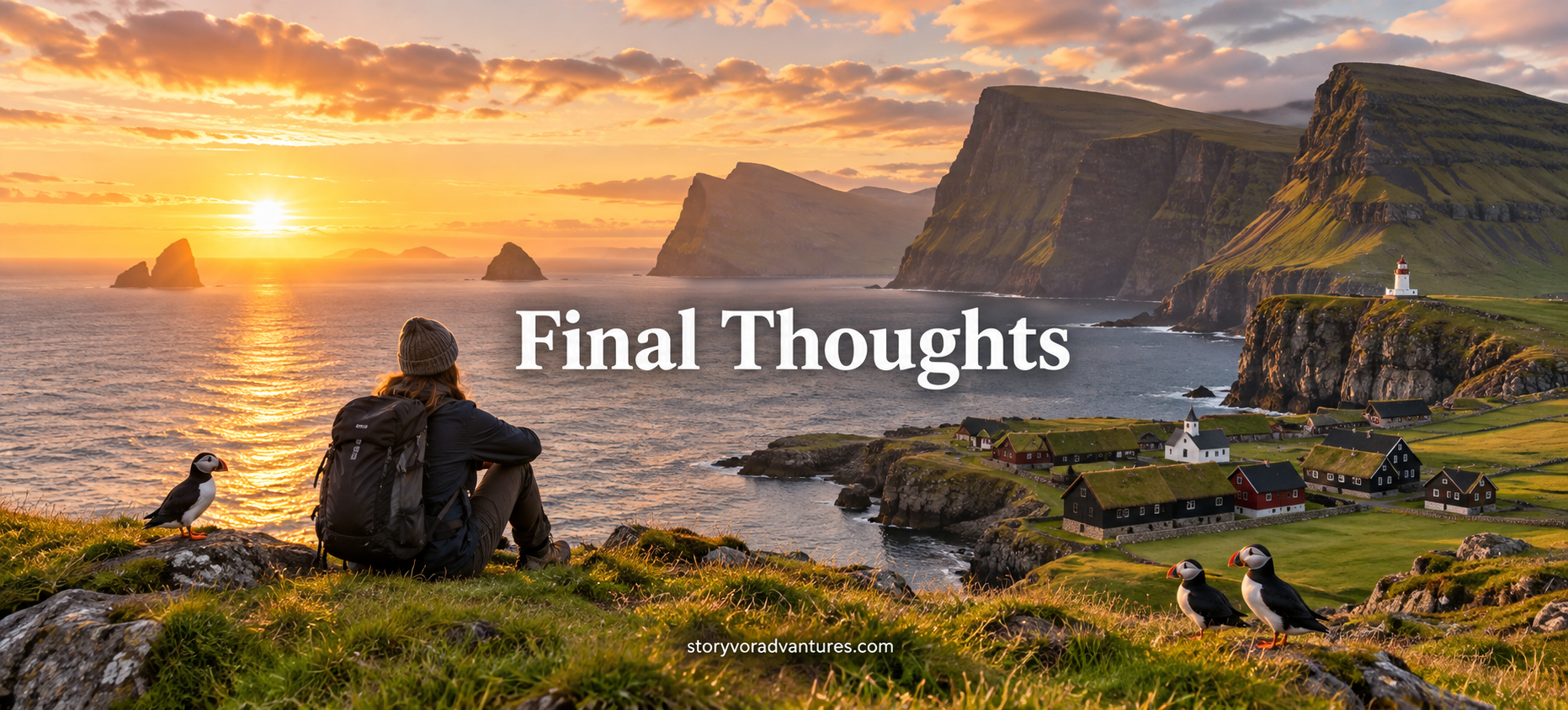
The Faroe Islands do not look extraordinary because they contain one famous attraction. Their character comes from the way villages, waterfalls, cliffs, birds, roads and the Atlantic Ocean exist together within a compact and constantly changing landscape.
Múlafossur demonstrates the power of water meeting the sea. Sørvágsvatn challenges the eye through perspective. Saksun and Gjógv reveal how communities have adapted to dramatic geography, while Mykines and Vestmanna show the importance of protecting coastal wildlife.
Travelling here should not be about collecting ten photographs as quickly as possible. Weather may change the plan, a ferry may require patience and a landscape may deserve more time than expected.
Approach the islands carefully, respect the people who live there and allow space for nature to remain unpredictable. That uncertainty is not an inconvenience—it is part of what makes the Faroe Islands feel unlike anywhere else.